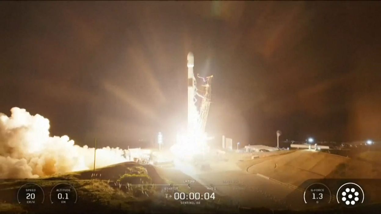
The Copernicus Sentinel-6B satellite was successfully launched into orbit and has begun its deployment phase, the European Space Agency (ESA) announced on Monday. The spacecraft will take over from its predecessor to measure changes in the Earth’s seas and lakes over the next five years.
Sentinel-6B was launched Monday morning at 06:21 aboard a SpaceX Falcon 9 rocket from the Vandenberg Space Base in California.
An hour and a half later, the European Space Operations Centre (ESA) in Germany received a signal via the Inuvik ground station in Canada, confirming the satellite’s health.
The satellite will scan the same data as Sentinel-6 Michael Freilich for six months to calibrate itself accurately, before the older satellite leaves its orbit.
An altimeter partially built by Thales Alenia Space in Belgium
Sentinel-6B, equipped with an altimeter (POSEIDON4) partly designed by Thales Alenia Space in Belgium, will precisely monitor the height of seas and lakes across approximately 95% of the Earth every ten days.
The remaining 5% is covered by Sentinel-3, another satellite in the European Copernicus Earth and climate monitoring program.
This new tool will complement other monitoring missions to better estimate global water stocks, understand ocean patterns and ocean-atmosphere interactions, improve forecasts of extreme events, and better anticipate the trajectory of climate warming.
Sentinel-6B is the result of international cooperation between the ESA, NASA, EUMETSAT, and the U.S. National Oceanic and Atmospheric Administration (NOAA).
Source: rtbf