
A study suggests that a geo-engineering technique of thinning marine clouds could halve the intensity of El Niño episodes. A promising track, but far from being unanimous.
The El Niño climate phenomenon occurs when the east winds weaken, allowing the warm waters accumulated in the western Pacific to flow back into the rest of the ocean, on a much wider surface. This change warms the atmosphere and raises global temperatures.
According to studies, a very intense episode of El Niño is currently forming in the Pacific and its consequences could be disastrous. But climate models suggest that a geo-engineering technique called « clearing of marine clouds » could shorten this warming, reports New Scientist.
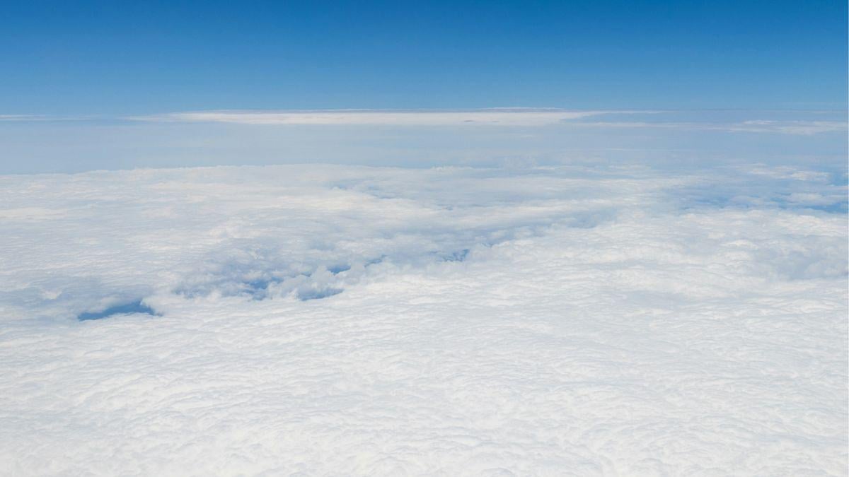
This technique consists of spraying thin droplets of salt water into the atmosphere in some very cloudy regions of the ocean. The clouds would become whiter and more reflective. They could send more solar radiation back into space and help cool the planet.
Shading a portion of the eastern Pacific would interrupt the feedback loops at the origin of the development of the El Niño episodes. Cooler surface temperatures would strengthen the trade winds, which would push the warm waters back to the west of the Pacific. More cold water would then rise from the depths of the eastern Pacific, still cooling the surface, and so on.
Domino effect
« We can, in a way, stop the domino effect from the start thanks to the clearing of the sea clouds, » explains Jessica Wan, climatologist at the University of California and co-author of the study. Wan and his colleagues had this idea while observing the summer of 2019-2020 in Australia, marked by huge bushfires.
A very violent episode of La Niña, the phase opposite to El Niño, which lowers global temperatures, occurred soon after. Researchers had discovered at the time that suspended smoke particles had cleared the clouds and cooled the eastern Pacific. And it was precisely because of this that the cold episodes had intensified and prolonged for three consecutive winters, instead of one or two usually.
To simulate how this clearing of the clouds could reduce El Niño, the team focused on two particularly violent episodes: 1997-1998 and 2015-2016. Result: nine months of spraying seawater would have reduced warming by almost half. The El Niño episode would have ended in January, shortening the event by several months. However, such a mission would have required quantities of water that current technology does not yet allow the to be taken.
Mat Collins of the University of Exeter in the United Kingdom, however, calls for caution. These results may not be verified in the real world, where ocean warming generally tends to dissipate low-altitude clouds, resulting in additional warming, which in turn dissipates more clouds. « In a model where the feedback of the clouds is stronger, more aerosols should be injected, » he says. The experiments already seem close to the limit of what is technically feasible. »
Wan herself recognizes that this approach could have unforeseen consequences: the model only projects its effects over two-year periods. In both simulations, the La Niña episode, which followed El Niño, started earlier than expected and in the case of 2015-2016, more intensely. Bad news for regions such as the Horn of Africa where strong La Niña episodes have in the past disrupted rainfall and contributed to large-scale famines. But according to Wan, the idea already has the merit of showing that changing clouds in a particular region can change vast climate models.
source : slate