
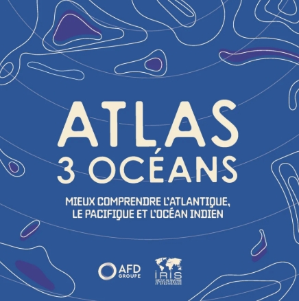
For the first time, IRIS and AFD are joining forces to offer map lovers a new vision of our geographical, geoeconomic and geopolitical representations of the oceans. In a world plagued by profound changes, we believe it is necessary to reinvent our view of the Atlantic, Pacific and Indian basins, with a « Three Oceans » approach.
Thinking on an oceanic scale: understanding island and coastal societies at a time of economic, geopolitical and environmental interdependencies.
By making the bet of apprehending overseas territories, island states and coastal countries together, the Atlas Three Oceans offers an unprecedented reading of societies and environments anchored in the great oceanic basins: the Caribbean Sea, the southwest of the Indian Ocean and the South Pacific. Far from a sectoral approach, the book crosses social, political, economic and ecological data to show how these territories, often considered peripheral, actually concentrate the major issues of the contemporary world – food and energy dependence, ecosystem preservation, climate vulnerability, etc. Both resources and living environments, the ocean and the coasts appear as spaces of interdependence, where the tensions between development, environment and sovereignty are played out.
In 20 thematic plates enriched with maps, infographics and analyses, this atlas sheds light on the multiple links between human societies, between nations and territories, between population and environment. Designed as a tool for understanding and awareness, the Atlas Three Oceans is aimed at all those who wish to better grasp the dynamics of resilience of island societies and their place in the balances of the 21st century. Carried out jointly by the French Development Agency (AFD) and the Institute of International and Strategic Relations (IRIS), this atlas is part of a shared knowledge approach. It invites us to change the scale to better understand the world from its shores, and to show and understand these spaces often perceived as distant.