Antarctica, often seen as a vast block of ice, actually reveals a continent full of mountains and valleys hidden under layers of ice. A new research made it possible to draw up a detailed map of this unknown landscape, highlighting a varied topography that directly influences the rise in sea level.

Antarctica is often thought of as a huge block of ice at the base of the Earth, but it is in fact a continent like any other, rich in mountains, hills, canyons and valleys, hidden under a thick layer of frozen water (up to miles in thickness). A recent study created a map with unmatched details, revealing a landscape hidden under the immense mass of ice, whose oldest layers date back millions of years. This new map highlights alpine valleys, plains and great depressions, revealing a remarkable topographical diversity.

Credit: Science
This is not a simple investigation to find out what is hidden under the South Pole’sice mantle, but an essential study to understand how and by what means ice can melt more easily, due to global warming caused by CO2 emissions and other greenhouse gases related to human activities. The melting of Antarctic ice significantly affects rising sea levels, which is one of the greatest threats to climate change; it is expected that in the near future many cities and coastal regions will be submerged, causing an unprecedented migration crisis in the history of humanity.
The discovery of this fascinating subglacial landscape of Antarctica was carried out by an international research team of scientists from the Institute of Environmental Geosciences of the University Grenoble-Alpes (France) and the School of Geosciences of the University of Edinburgh (Scotland, United Kingdom), in close collaboration with their colleagues from the Department of Earth Sciences of Dartmouth College (United States). The researchers, coordinated by Professors Helen Ockenden and Robert G. Bingham, developed the new map of the Antarctic landscape thanks to a combination of technologies: they coupled satellite images (which do not show what is hidden under the surface) with data from an innovative method called Ice Flow Perturbation Analysis (IFPA). In other words, the configuration of the ice on the surface makes it possible to determine how the mantle rests on the underlying structures, providing a kind of “moll” of the landscape below.
Using this method, the researchers mapped the entire Antarctic continent, discovering many unknown structures, huge mountain ranges, deep canyons, lakes, rivers and about 30,000 alpine valleys and hills. In the absence of ice, one could see similarities with the Swiss Alps, plateaus similar to Scottish lands and vast plains similar to those of Namibia. There are also areas well below sea level, such as a canyon in East Antarctica that descends to 3,500 meters and a pit in West Antarctica that « slops » to about 2,500 meters. A fascinating combination of territories, whose composition is essential to understand how ice slides on the substrate and what are the critical points in terms of melting.

The distribution of valleys, mountain ranges, plains and other structures under the Antarctic ice. Credit: Science
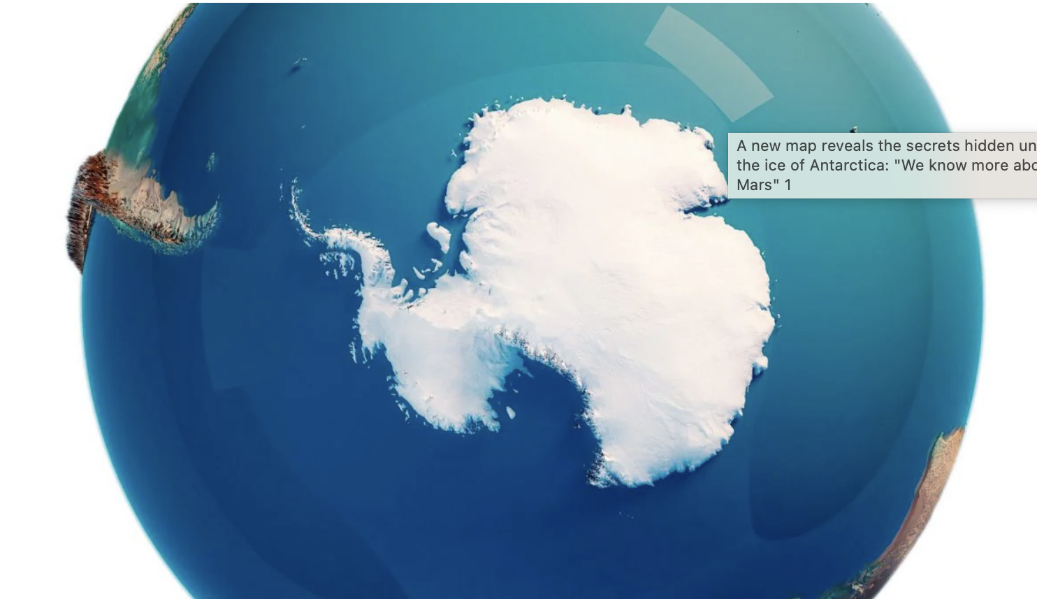
“As it is difficult to make scientific observations through the ice, we know less about the landscape hidden under Antarctica than on the surface of Mars or Venus. So it’s really exciting that this new method allows us to use satellite measurements of the surface of the ice to fill the gaps in our maps, revealing new details about mountain ranges, canyons and geological boundaries,” Ockenden said in a press release. “Over the millions of years, the Antarctic ice sheet has sculpted a landscape of plains, steep plateaus and treble mountains, all hidden under the thick current ice cover. With this technique, we are able to observe for the first time the relative distribution of these very varied landscapes throughout the continent, » Bingham added.
Last year, researchers from the British Antarctic Survey (BAS) also developed a detailed map of Antarctica’s subglacial landscape, called Bedmap3. According to their analysis, if all the Antarctic ice were to melt, the sea level would rise by 58 meters, causing a global disaster. But it already takes 0.5 meters to have a catastrophic impact on the islands (including Pacific atolls) and coastal regions. The details of this research “Complex mesoscale landscapes below Antarctica mapped from space” have been published in the journal Science.
source : netcost