Beijing has deployed 42 research vessels and a massive network of ocean sensors to map the seabed and transform the strategic balance beneath the surface.
This movement is quiet, but it could change everything. China is no longer content with simply building submarines: it is mapping the ocean with surgical precision. From the Asian straits to the central Pacific, data is piling up. And behind this scientific collection lies a clearly military logic.
Large-scale mapping
For several years, Beijing has been conducting a methodical campaign of underwater surveys in the Pacific, the Indian Ocean, and even some Arctic areas. A total of 42 specialized vessels are believed to have participated in this operation, combining bathymetric surveys and environmental measurements. The objective goes beyond simplescientific research: it is about achieving mastery of the seabed , acoustic superiority and complete operational readiness .
Highly strategic areas
The observed trajectories are not insignificant. The surveys are concentrated around Taiwan, near Guam, along the first island chain, and near the Strait of Malacca. These areas correspond to major transit routes for the US Navy and its allies. By targeting these corridors, China is strengthening its naval presence , refining its maritime intelligence , and consolidating its strategic posture .
Data as an invisible weapon
Underwater, everything depends on sound. Temperature, salinity, and pressure influence the propagation of acoustic waves. By continuously collecting these parameters using hundreds of fixed sensors and instrumented buoys, Beijing is building a dynamic database. This accumulated data allows for the optimization of underwater warfare , the improvement of sonar detection , and the enhancement of concealment capabilities .
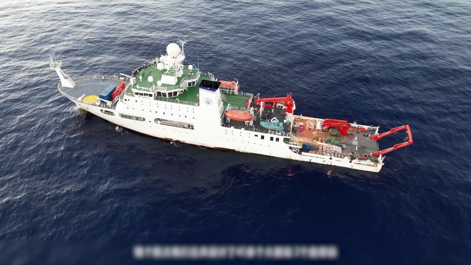
China uses research vessels for a vast ocean monitoring network
Mapping to better hide
Chinese ships use very tight parallel trajectories to achieve complete coverage of the seabed. This technique produces extremely detailed maps: topography, slopes, and sedimentary layers. For a submarine, these features become allies. Positioning itself behind an elevation or exploiting a thermal layer can reduce the probability of detection. This is what we call stealth navigation , underwater terrain , and tactical advantage .
A permanent surveillance network
Beyond mobile campaigns, China has deployed fixed sensor networks in several key areas, including east of Japan, around the Philippines, and in the Indian Ocean. These devices enable real-time monitoring of maritime conditions and, in some cases, underwater movements. This architecture creates persistent surveillance , continuous analysis , and enhanced regional projection .

China is mapping the seabed in preparation for submarine warfare against the United States – The Japan Times
A multiplier for the Chinese fleet
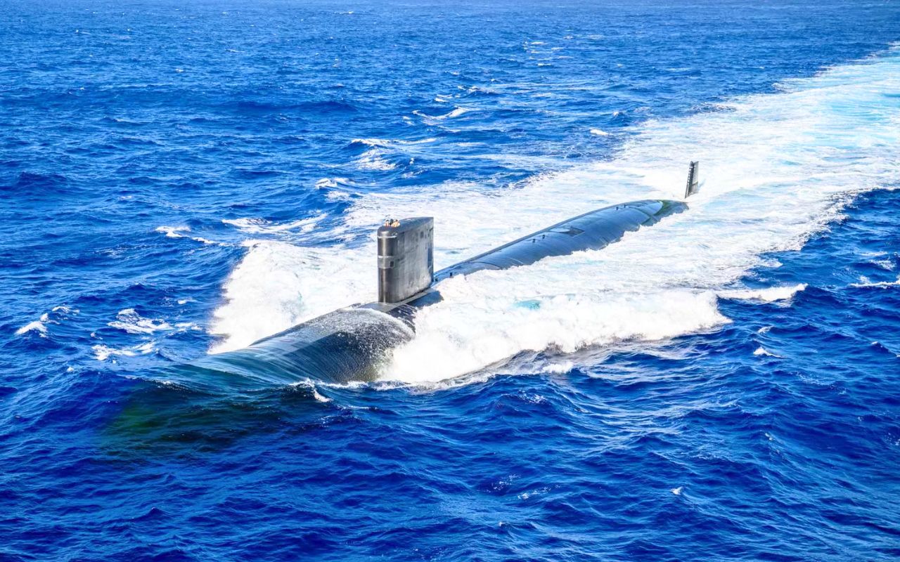
The Chinese navy could have around 70 submarines by 2027 and aim for up to 80 units by 2035. Such a fleet directly benefits from detailed environmental awareness. The more precise the data, the more predictable and optimized missions become. This technological network acts as a force multiplier , supports naval modernization , and strengthens regional deterrence .
Washington faces a new challenge
For the US Navy, this development significantly complicates matters. Technological superiority is no longer sufficient if the adversary has complete control of the operational environment. The United States will have to invest more in counter-surveillance and oceanographic analysis to maintain its advantage. This implies an adaptation in terms of naval strategy , operational resilience , and strategic balance .
Key figures
| Element | Estimated data |
|---|---|
| Research vessels mobilized | 42 |
| Sensors deployed | Several hundred |
| Chinese submarines planned for 2027 | ~70 |
| Estimated target for 2035 | ~80 |
| Areas covered | Pacific, Indian, Arctic |
China’s strategy is not solely based on building new vessels. It relies on a deep understanding of the marine environment to reduce uncertainty and maximize efficiency. This approach is gradually transforming the underwater world into a data-driven battleground.
source : forum militaire