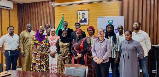
The GéoSénégal community, led by the Groupe Interinstitutionnel de Concertation et de Coordination de la Géomatique (GICC), in partnership with the French Embassy in Senegal, organized 3 days of workshops. During the discussions, the plenipotentiaries discussed the blue economy, regional planning and agriculture.
« The main aim of the session, which opened on Tuesday June 25 in Dakar at the headquarters of Sénégal Numérique SA, was to strengthen the involvement of key players in the Sen Spatial project, in order to better meet the needs of the public sector through the use of satellite data to develop innovative solutions, » reads a note sent to Seneweb.
The various players wish to focus on the collection or production of geographic data, which will be shared for better information management. They also hope that the themes addressed during the workshops will contribute to the optimal and sustainable management of the Senegalese territory and its resources.
The Groupe Interinstitutionnel de Concertation et de Coordination de la Géomatique (GICC) is open to providing start-ups with as much information as possible, and is announcing the launch of calls for applications in the coming weeks, in the blue economy, land-use planning and agriculture sectors.
Source: SENEWEB