By introducing its first maritime spatial planning framework, Greece is setting the rules for the organization of its maritime space and outlining how it intends to use it. This tool is more than symbolic, as it not only fully defines its maritime space but also aims to strike a balance between environmental protection and maritime economy.
A Multisectoral and Territorial Planning Approach
The framework is a comprehensive political tool that addresses multiple sectors: marine ecosystems; sustainable tourism; marine heritage protection; transport infrastructures; energy development, including offshore wind and resource exploration; fishing and aquaculture; and cross-border infrastructures of common interest.
With these various aspects to reconcile, the framework aims to lay the foundations for a modernized blue economy, making the best use of maritime resources while protecting the marine environment and its biodiversity.
The framework defines four specific zones to best adapt to the geographical realities of Greek waters. Thus, Crete; the Ionian Islands; the Cyclades and Dodecanese; and the Northern Aegean and Sporades islands will each have a distinct maritime planning approach.
A Legal Requirement
The framework responds to the obligations set by European Directive 2014/89, which requires member states to define a maritime spatial planning strategy that takes into account both environmental conservation and economic challenges.
This is particularly important as it is the first time that the complete delimitation of Greece’s maritime space is featured in an official legal document by a European institution. All Greek islands are recognized, along with the maritime space they legally entitle.
Moreover, by addressing economic, energy, and infrastructure issues, the framework represents Greece’s exercise of its sovereign rights over its waters, in full compliance with international conventions on maritime law.
A Potential to Exploit
This framework is being introduced as Greece is advancing two major marine energy projects: the exploration of hydrocarbon reserves in Crete and a submarine power cable with Cyprus. The framework emphasizes the importance of cross-border infrastructures of common interest, a status that has been granted to the Greek-Cypriot cable.
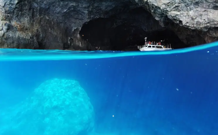
With the longest coastline in the Mediterranean, a vast maritime space, and hundreds of islands, Greece intends to effectively manage the exploitation of its resources while ensuring conservation of the Mediterranean, often referred to as the « Great Blue. »
Turkey’s Traditional Opposition
Through its Foreign Minister, Turkey immediately rejected the maritime spatial planning framework, claiming that the established Greek maritime space overlapped « illegally » with Turkish maritime zones. Furthermore, the minister stated that the plan would have no legal consequences for Ankara.
However, Turkey expressed its willingness to cooperate with Greece in accordance with international maritime law to protect the shared Aegean and Eastern Mediterranean seas. Greek authorities responded positively, hoping to find a common path that would ease these territorial tensions.
Source: lepetitjournal