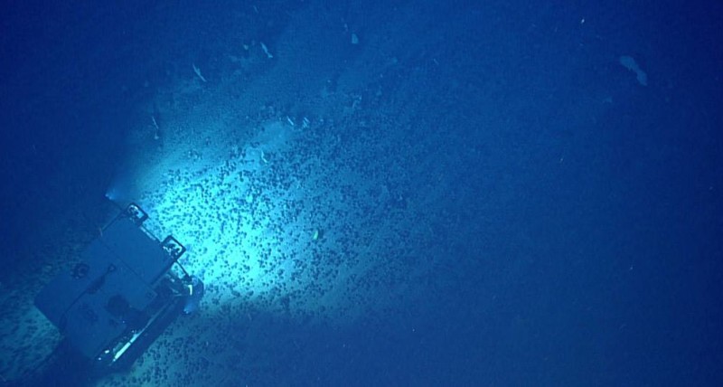
The Arctic sea ice continued its record-breaking decline for the fourth consecutive month in March, reaching the lowest maximum extent in 47 years of satellite monitoring, according to a report from the European Earth observation agency, Copernicus. The Arctic sea ice reached its annual peak on March 20, 2025, covering just 14.4 million square kilometers—6% below the 1991–2020 average for the month. Military and commercial vessels, particularly from Russia, are stepping up operations in the region, parts of which are expected to be ice-free during summer within a decade, said Rebecca Pincus, former director of the Wilson Center’s Polar Institute. The Arctic is warming up to four times faster than the rest of the planet, leading to a lasting decline in sea ice levels. Some scientists predict that the first ice-free day could occur before 2030.
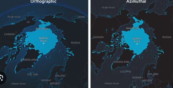
To map the decline of Arctic sea ice, I relied on the excellent database from the National Snow and Ice Data Center (NSIDC), which hosts a wealth of polar-related data. For this particular map, I acquired shapefiles of sea ice extent for the month of August from each year since 1979.
(Nerd note: A shapefile is a geocoded dataset that can be read by GIS software like QGIS or ArcGIS.)
I imported the shapefiles into QGIS and overlaid them on an orthographic projection of the Arctic Ocean. I avoided the classic top-down azimuthal projection over the North Pole for purely aesthetic reasons—I wanted to depict the region on a globe rather than in a square crop. I then exported the map and sea ice data to Adobe Illustrator, where I applied the final visual styling. Regular readers know that when I create maps, I care deeply about aesthetics and clarity of information.
Using a dark palette for land and sea helps highlight the sea ice data and maritime routes. Subtle touches, such as a glow around coastlines and the edge of the globe, help create a visual that draws the viewer in. The stylized map was then imported into Adobe After Effects to animate the individual ice layers and shipping routes, pausing the data at key points and adding contextual annotations.
Since U.S. President Donald Trump took office in January, his interest in acquiring Greenland has intensified focus on the region’s critical minerals and its growing importance for trade and military strategy. As Arctic ice continues to recede, northern maritime routes through the Arctic Ocean could become economically viable for longer periods each year.
Join us at the Climate & Impact Summit on May 21–22, hosted both in-person in London and online. The summit will bring together leaders from business, finance, and policy who are committed to achieving the UN’s Sustainable Development Goals through collaboration, innovation, and investment.